Archive Item
| Reference | F10/16 |
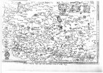
| Title | Gevile M. Livett, Early Kent Maps (Sixteenth Cen |
| Description | Gevile M. Livett, Early Kent Maps (Sixteenth Century), XLIX (1938) |
| Location | Maurice Raraty |
| Category | F - Folders / Individual items |
| Access | Public |
This item is a raw import from the 2016 catalogue.
Scans
 |  |  |  |  |  |  |  |
 |  |  |  |  |  |  |  |
 |  |  |  |  |  |  |  |
 |  |
Documents
 |